Terezia's brother Tony had been promising to take us on a good mountain hike for nearly three years (i.e., since we first moved to Slovakia), and he finally delivered on that promise with a very cool hike in Slovakia's Low Tatras.
The Low Tatras - as opposed to the High Tatras in the north of the country - are comprised of a meandering mountain range that runs through the heart of the country in an east-west direction, and there is even a popular backpacking route called the Low Tatras ridge hike, a roughly 55-mile path that goes all the way from Telgart to Donovaly along the top of the network of mountain ridges. The Low Tatras are, of course, not as high nor as dramatic as the High Tatras, but the scenery is still lovely and picturesque.
The hike we took was only about 5.75 miles (9.25 kilometers), but it had plenty of steep ascents and fairly rugged, rocky terrain, which made it more of a challenging trek, yet still totally doable for anyone who does a decent amount of hiking, like us. Tony's plan was to make a big loop that would first take us to a chalet, then past Ďumbier peak (the highest in the Low Tatras range), with the final destination being Chopok, the third highest peak, yet the most popular as it's one of the region's biggest ski resorts and has mountain gondolas that carry tourists to the top on both the north and south sides of the mountain.
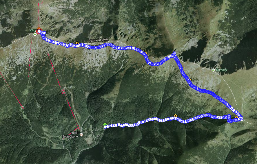 |
| A map of the hike (click to enlarge). From Chopok, at the end of the hike, we took the ski lift down the mountain back to the bottom/start. |
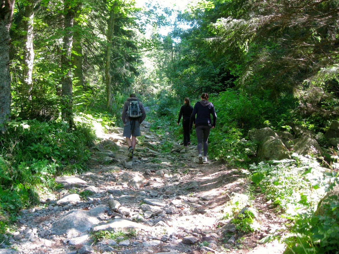
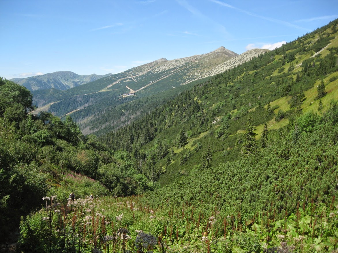
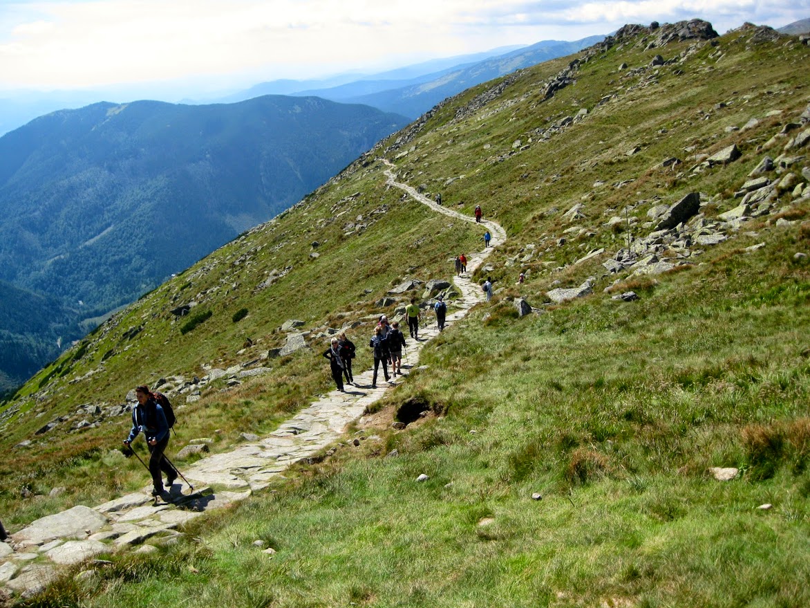
After literally nabbing the last space in the parking lot, we made for the trailhead, which first took us uphill through a steep, meandering ravine marked by lush, beautiful, forest-y terrain. Curiously, the trail was strewn with rocks and stones, which made it necessary to look down at all times while walking so as not to trip or sprain an ankle. If you wanted to take in the scenery, you literally had to just stop walking and pause for a second to enjoy the views.
Along the way we saw a couple of guys trudging up the path carrying these massive loads of food supplies on their backs. They were making deliveries to a chalet at the top, and we saw one poor guy about 3/4s of the way up whose legs were visibly trembling under the weight.
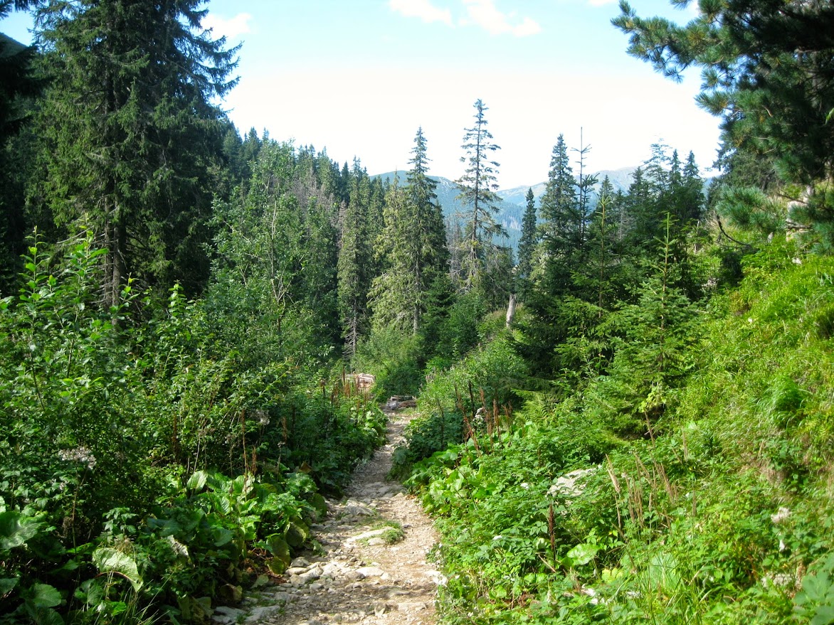
The ascent gradually gets steeper and steeper, especially once you get above the tree line, until finally it's steep enough to turn into a switchback that takes you to the top of the ridge, where we were greeted by the bustling chalet. This first leg is only about two miles, but it's a good uphill workout.
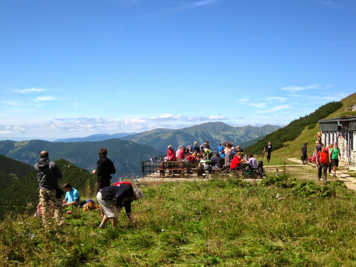 |
| In front of the chalet |
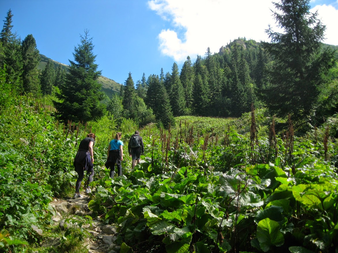
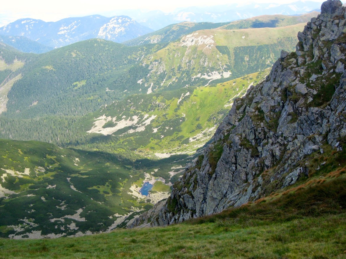
We took a break and had some beer and snacks before pressing on. From here the trail was generally not as steep - more gentle ups and downs - but definitely quite rocky and rugged. The path took us west through the area between the ridge peaks (to our right) and the top of the tree line a good way below.
The trail plows right through several of these large fields or cascades of boulders - these massive deposits of boulders and rocks piled on top of and alongside one another in such a way that when you're walking over them it's difficult not to wonder what's keeping them in place and why they're not sliding down the hill in a massive avalanche. It appears that people made paths right through these 'frozen' cascades by finding perfectly shaped flat stones and just kind of wedging them into place, so you can generally walk across without having to scale over the rocks, though a decent amount of boulder scaling was still inevitable, especially when making room for oncoming traffic.
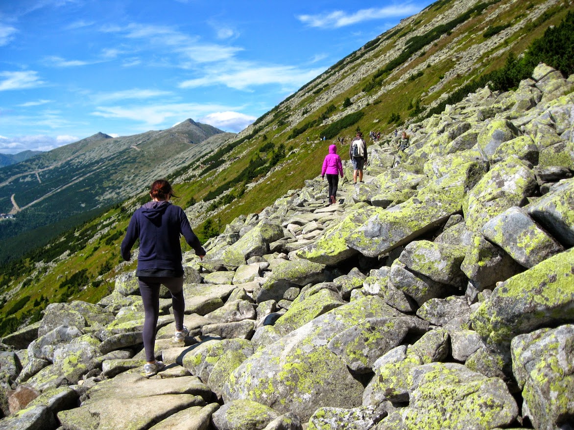 |
| Walking across one of the numerous rock cascades |
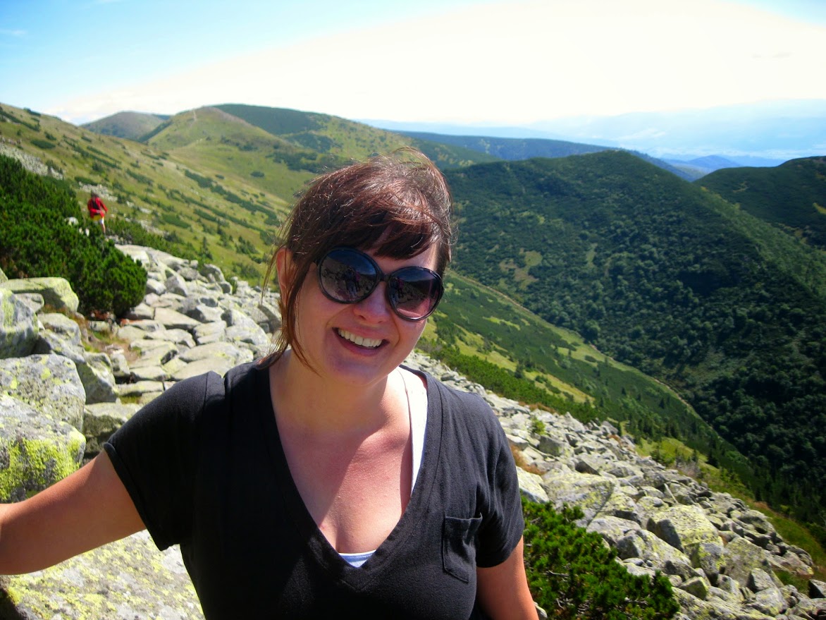
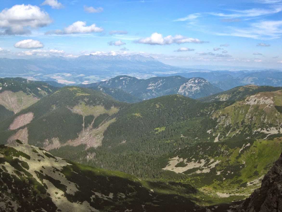
We eventually got to Ďumbier, the highest peak in the range at 6,703 feet. The south side of Ďumbier is a green and smooth slope, but the north side is all jagged, mountainous, craggy rock and steep 90 degree angle drops, and it offers beautiful views of the High Tatras off in the distance to the north.
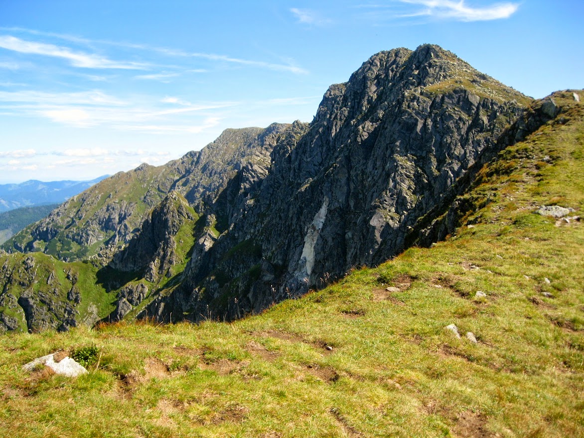 |
| The rockier, northern side of the tip of Ďumbier peak |
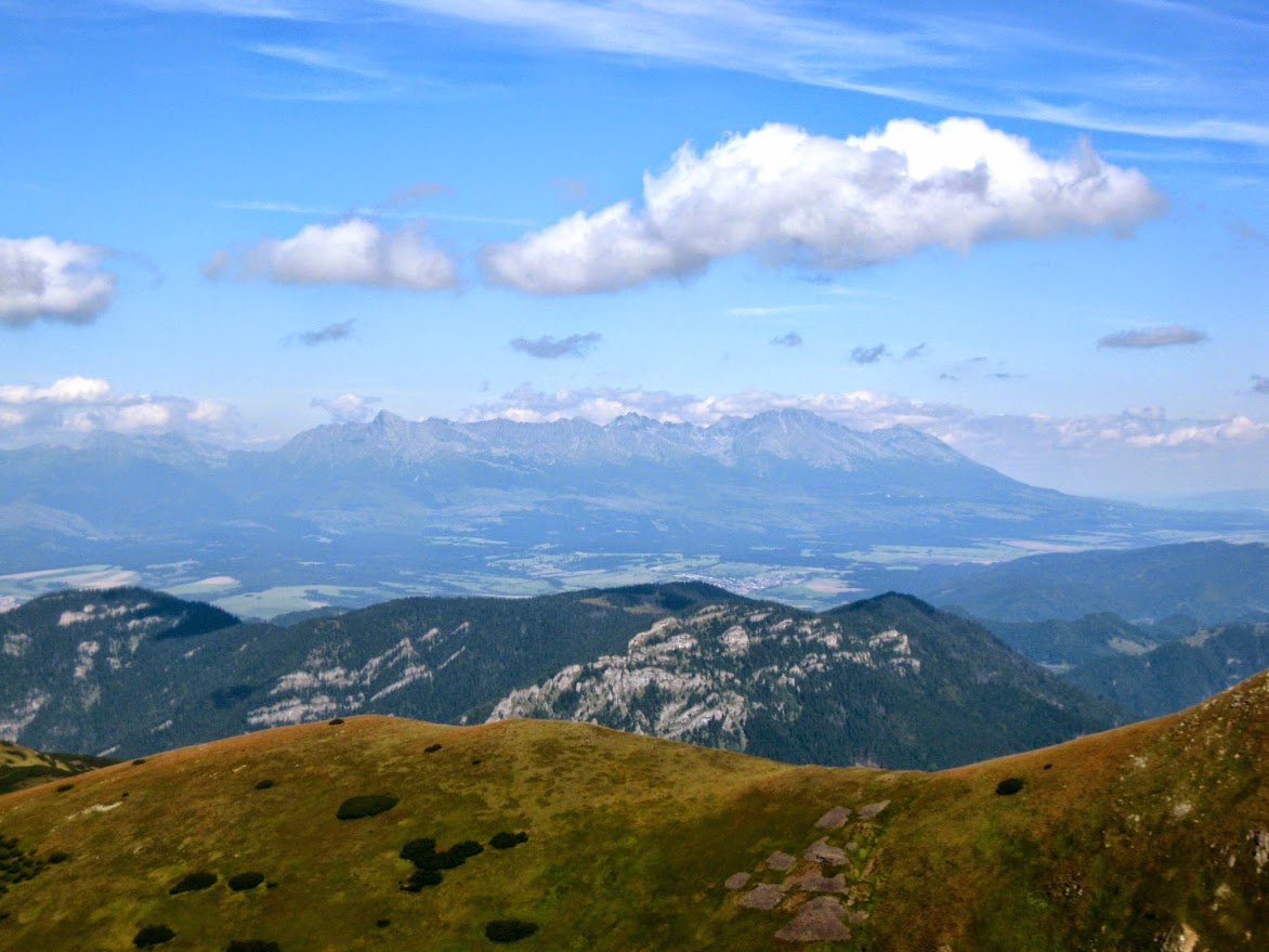 |
| You can see the High Tatras in the distance. |
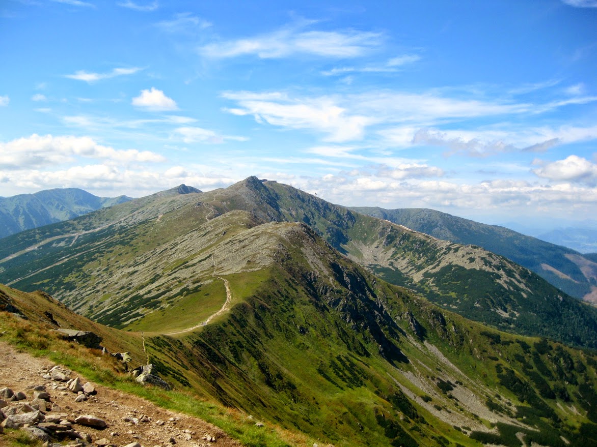
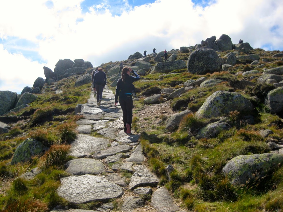
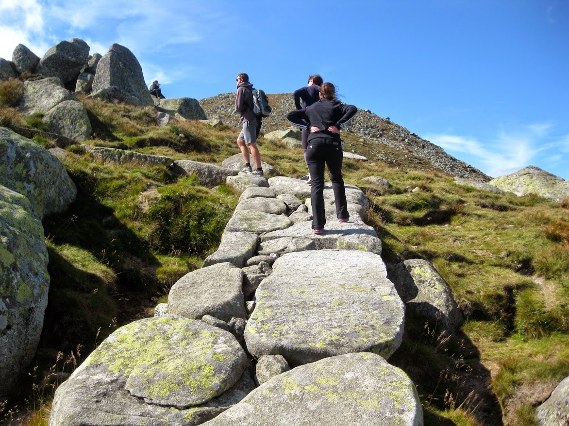
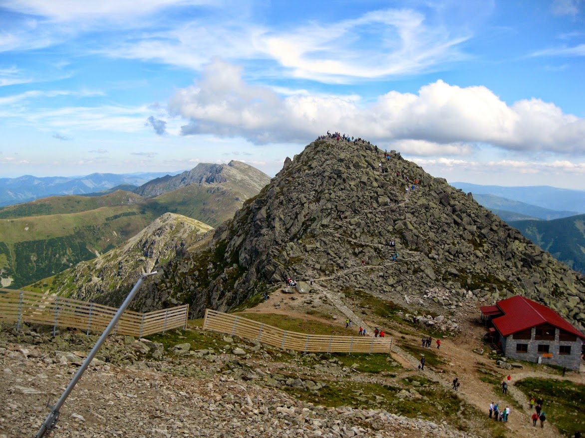
From Ďumbier to Chopok, large segments of the trail consist of a winding manmade stone path, with flat stones wedged together like puzzles pieces. This was generally easier to walk on than the more rugged trail between the chalet and Ďumbier, though at times it was deceptively steep, to the point where you had to take baby steps down the descents if you wanted to avoid slipping and tumbling down the path.
 |
| The trail to Chopok |
 |
| The start of the path to Chopok |
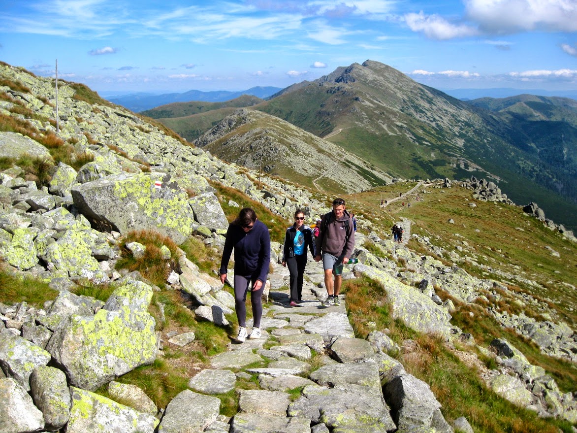 |
| Looking back over the route from whence we came: the biggest peak in the background is Ďumbier. |
Once you finally round Chopok peak, civilization comes abruptly into view on its western side with a massive, modern gondola station by the top with a huge outdoor observation deck and the requisite cafes/pubs and hordes of people. There is also an old school chalet next to it, which pipes out a strong odor of schnitzel and other fried Slovak "delicacies". Somewhat perversely, the highest observation deck of this huge, multi-story gondola station/pub/cafe thing was about as high as the tip of Chopok peak right next to it.
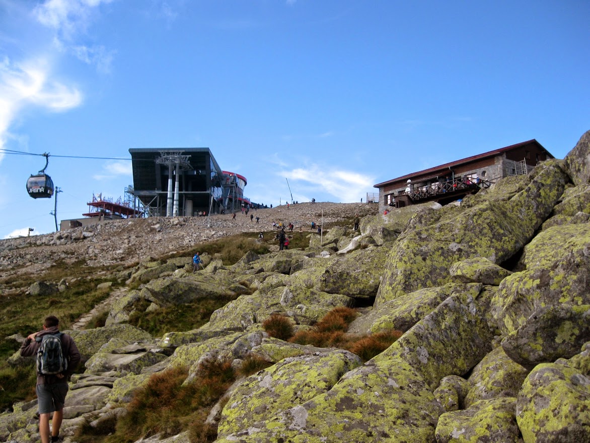
The views from Chopok are, of course, spectacular. It's also easy to distinguish the people who hiked up the mountain from those who simply took the gondola up from the bottom.
 |
| The tip of Chopok peak as seen from the adjacent observation deck |
We took the gondola back down, which was pricy but fun. The bigger enclosed gondolas only take you halfway down, however, to another ski station/chalet, where you then get onto a more traditional (i.e. exposed to the elements) four-person ski lift chair that takes you to the base of the mountain, where we opted to have a beer before walking the last 3/4s of a mile back to the car.
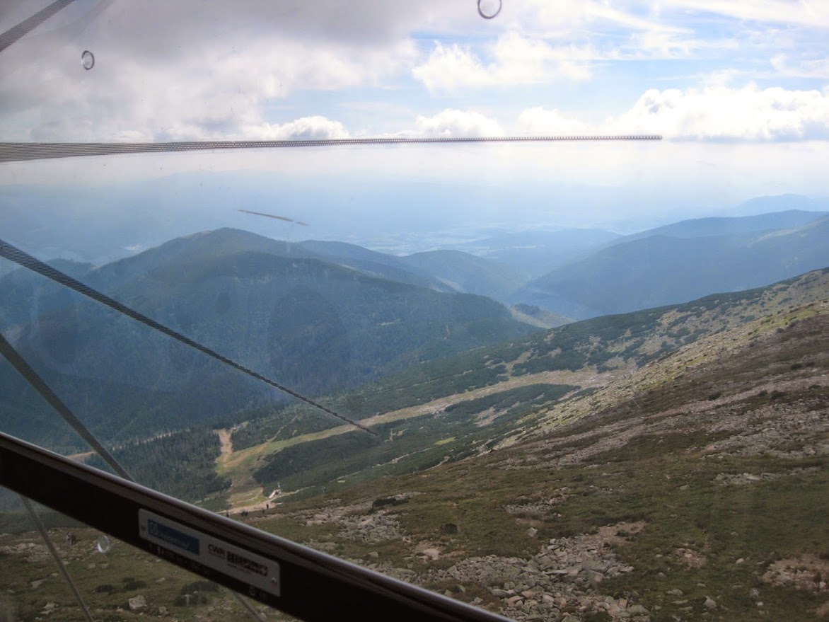 |
| The view from the gondola on the way back down |
All in all, it was a fun and scenic hike, and although it's not too long, there are enough very steep uphill sections and rugged pathways to make it a pretty good workout. Definitely not a bad way to spend a sunny, mild late-August day. And it's nice to have a 360 degree view of the surrounding Slovak landscape, with virtually nothing but wild, mountainous nature to be seen for miles around.
The Telgart-Donovaly ridge hike is probably fun to do if you're into backpacking. You can actually stay overnight at the chalets along the way, although I have no idea if you have to book them in advance (and if so, how far, and how much they cost) and I suspect the accommodations are more at the youth hostile end of the overnight accommodation spectrum. That hike supposedly takes a couple days, and it's pretty popular, though most people opt just to do segments of it like we did.
No comments:
Post a Comment